Get your waterproof jacket and boots; we are going on an adventure across the European seas!
Thanks to the European Atlas of the Seas, the European Commission’s initiative on ocean observation, every student, teacher or citizen can become an ocean explorer right from home.
The European Atlas of the Seas includes over 275 map layers on various marine and maritime topics. All maps are available online in 24 languages to learn more about the ocean, seas and coasts.
And not just that! The European Atlas of the Seas is a great ocean literacy tool. It is available to teachers and students to explore and learn about the countries of the European Union and surrounding seas interactively. The teachers can also create their own maps by combining the map layers for a personalised teaching experience, meeting their needs.
And the students love it!
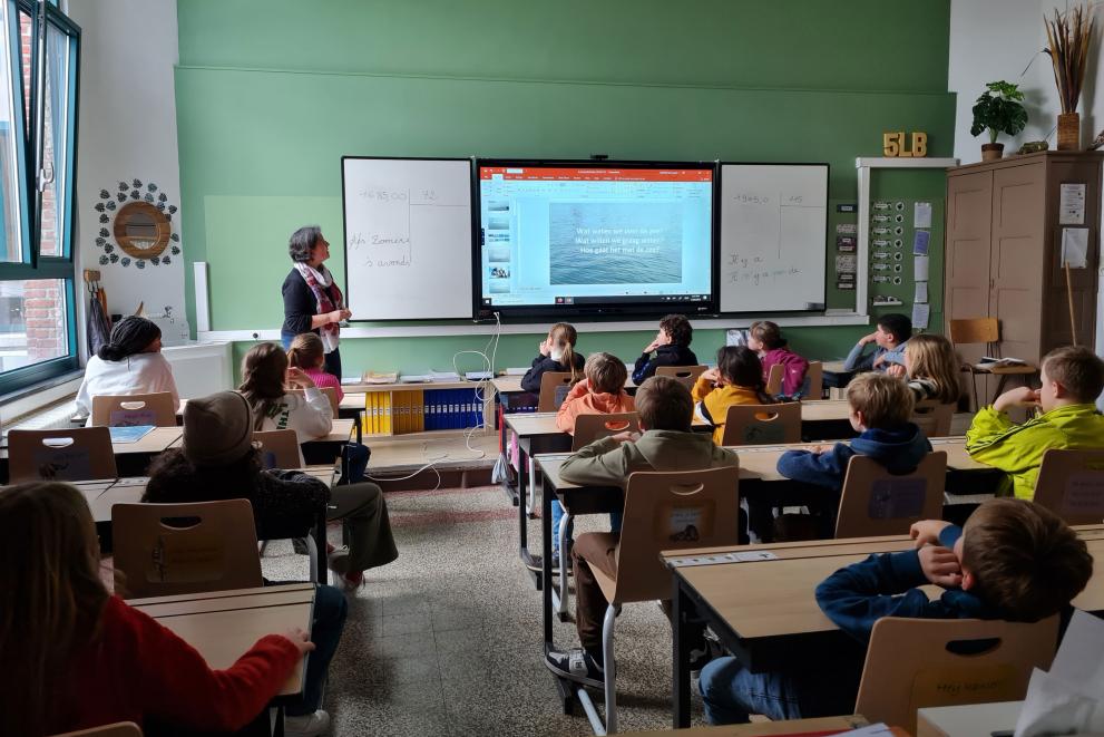
The students of the GBS De Plataan primary school in Merchtem, Belgium, tested the European Atlas of the seas in class. The experience was highly positive. The Atlas experts prepared a set of questions, and the students had to find the correct answers hidden in the map layers. Needless to say, all pupils could easily find all the correct answers, quickly becoming true Atlas explorers!
Education for climate challenge
Until now, teachers and students have been able to access and use the available maps in school work. With the Education for climate coalition challenge, schools can become data providers. As of March 2023, the European Atlas of the Seas is stepping up the game, creating the first Atlas maps based on citizen science. All schools in Europe can contribute to a new map on climate change at seas and waterways. Teachers and students can join the challenge and help measure the temperature of closeby rivers, lakes or seas. The data collected can be submitted until 31 March 2023 throught the online form. The European Atlas of the sea experts will harmonise the data into a map which will be published in the Atlas in the spring of 2023. Thanks to this experience, students can discover how maps in the Atlas are developed and learn the specifics about each step in the process (data collection, data harmonisation, data visualisation and communication-related to the new map). If you are a teacher or a student, take the opportunity to become a scientist for one day, join the challenge now!
Background
The European Atlas of the Seas provides information about Europe’s marine environment. Users can view predefined and ready to use maps, covering topics such as environment, tourism, security, energy, transport, litter, sea bottom, fishing activity, aquaculture, and much more.
Users can also benefit from an enriched catalogue with more than 250 map layers, covering a wide range of topics, to explore, collate and create their own maps. These maps can be printed, shared and embedded in articles or presentations. The Atlas is the ideal tool for schools, researchers and professionals, or anyone wishing to know more about the European seas and its coastal areas.
The Atlas offers a dedicated teachers' corner with exercises for different age groups as well as communication tools. It is an open platform where you can find and share information, educational material, inspirations and much more!
More information
Details
- Publication date
- 8 March 2023
- Author
- Directorate-General for Maritime Affairs and Fisheries