GeoVis dashboard
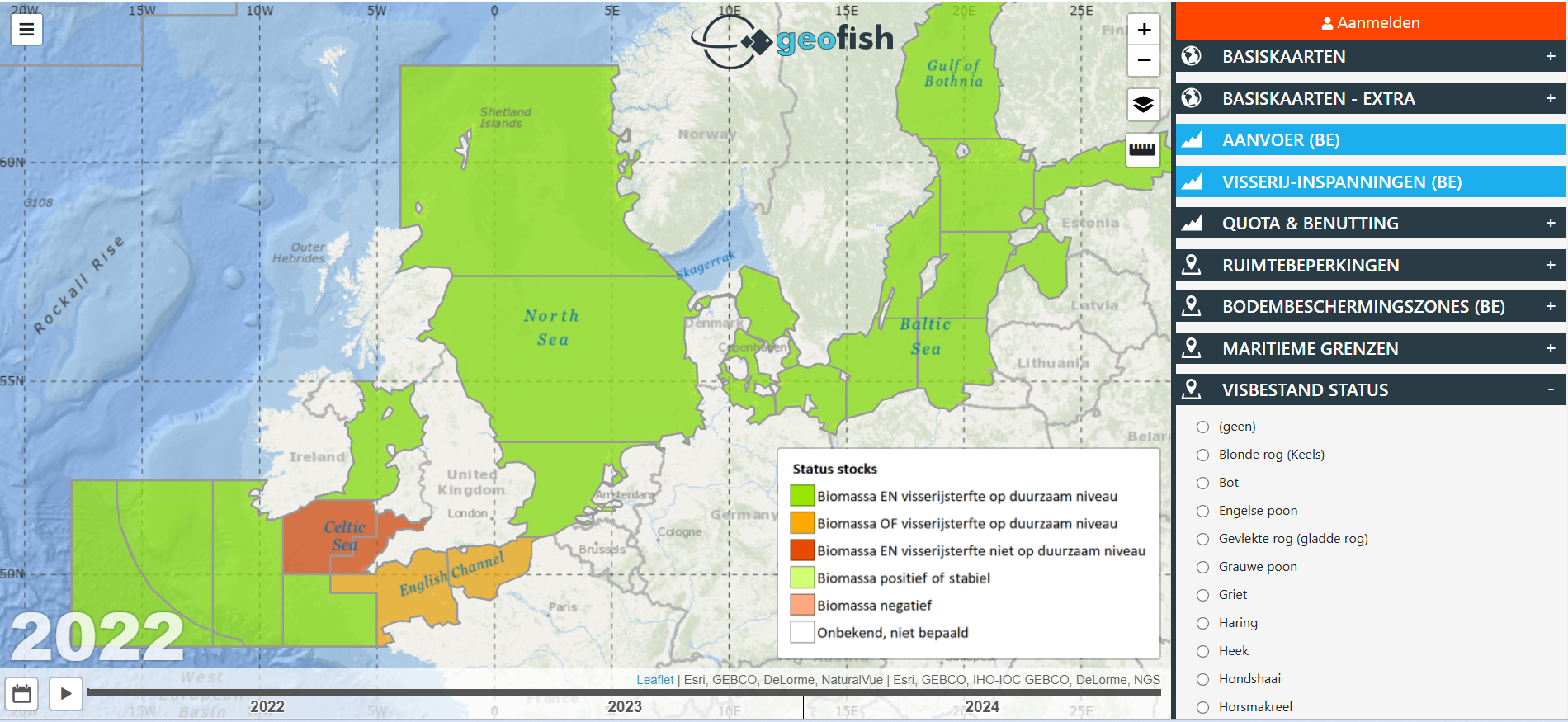
It provides real-time insights into fish populations and marine spatial planning, fostering sustainable practices. Developed by ILVO, GeoVis visualises key data such as fish health and protected areas, enhancing decision-making. This feature also includes maps of the protected Natura 2000 areas and contributes to protecting their limitations and evaluating overall economic importance of different fishing areas. With future upgrades like GeoVis4U, the platform will continue to evolve, supporting the industry's growth and environmental stewardship.
- Start date
- 1 Jan 2016
- Project locations
- Belgium
- Overall budget
- €242 665
- EU contribution
- €121 33250% of the overall budget
- Project website
- Geofish
Results
- The platform acts as a centralised hub, seamlessly integrating critical data from scientific research, industry insights, and legislative regulations.
- It promotes a more sustainable and efficient fishing industry through the innovative use of information technology.
Contact
Nele Jacobs
- Name
- Nele Jacobs
- Organisation
- EV ILVO
- Phone number
- +32 9 272 25 00