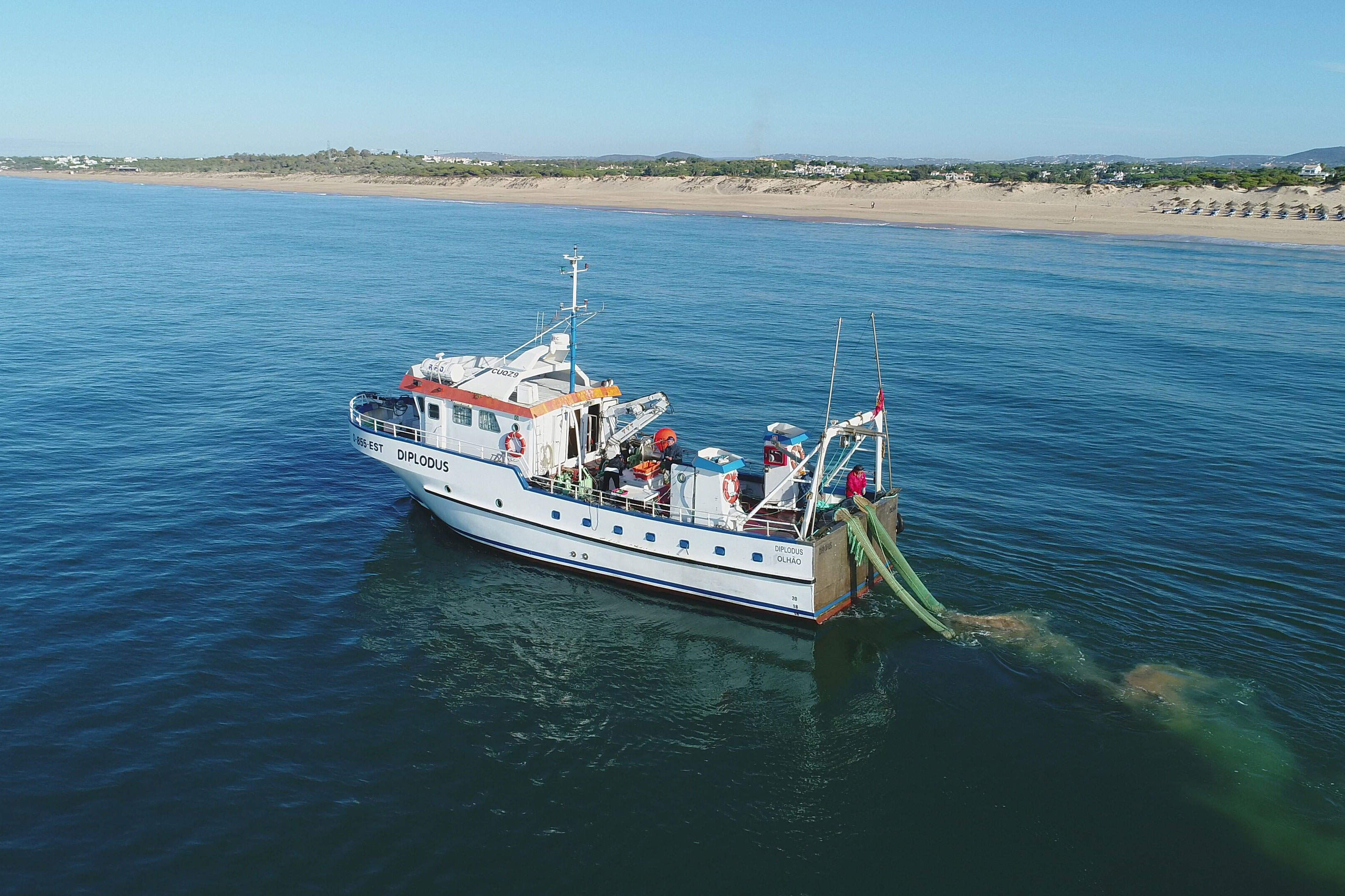
The Portuguese Institute for the Sea and Atmosphere (IPMA) developed a global positioning and ground penetrating radar system (GPS/GPRS) device to be voluntarily installed on board 83 bivalve dredge vessels, to monitor real-time activity of Portugal’s bivalve dredging fleet.
The project developed a system for analysing and visualising data and demonstrated the importance of this data for improving fisheries management. Beneficiaries identified and compiled data of interest to bivalve fisheries (environmental data, sedimentary characteristics, distribution of bivalves and auction landings, etc.); developed software to allow analysis and visualisation; created an Operations Center at the IPMA Center in Olhão; mapped bivalve beds along the coast; and created an advisory group for bivalve fisheries.
- Project locations
- Portugal
- Overall budget
- €529 335
- EU contribution
- €397 00275% of the overall budget
- Project website
- IPMA
Results
- Real-time digital tracking of 250 commercial bivalve dredging vessels.
- Creation of an online platform and operational center to track vessels.
- Spatio-temporal data on SSF fishing activities, fishing area and gears.
- Facilitation of the implementation of management measures (creation of spawning sanctuaries; temporal closures to protect juveniles; maximum towing speed; protection of sensitive habitats; etc.).
- Improved knowledge of the effectiveness of vessels in the Portuguese bivalve fleet.
Contact
Miguel Gaspar
- Name
- Miguel Gaspar
- Organisation
- The Portuguese Institute for the Sea and Atmosphere (IPMA)
- mbgaspar
 ipma [dot] pt
 - Phone number
- +35 1 289700500